As Tropical Storm Fernand weakens, the tropics turn quiet. At least for a moment
Published in News & Features
The coast is relatively clear in the Atlantic this week, and meteorologists say it could stay that way for at least a little bit.
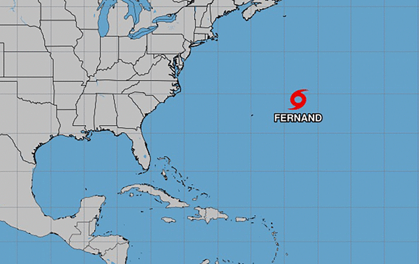
Tropical Storm Fernand is on a track out to sea, away from any occupied land, and set to weaken starting Monday evening as it heads into cooler waters in the north.
The storm was named Saturday afternoon after the National Hurricane Center deemed it strong enough to graduate from tropical disturbance to tropical storm — the sixth of the season. Forecasters say it should dissipate in the next two or so days.
The other potential threat forecasters were eyeing last week, a tropical wave near Africa, was removed from the map as of the 2 p.m. Monday update from the hurricane center.
For at least the next week, it looks like nothing is set to follow Fernand in the Atlantic basin, University of Miami associate scientist Andy Hazelton posted on X Monday morning. The Pacific basin might see an uptick in action, but it appears as if Labor Day could be a quiet one this year, he said.
“Overall, though, looks like a quiet start to the climatological peak of the season,” he wrote.
Obviously, that doesn’t mean the coast is clear for the rest of the season. Hurricane season doesn’t officially end until November 30, and the bulk of the activity is usually toward the later end of the season.
The National Oceanic and Atmospheric Administration’s latest forecast for the season still calls for an above-average one, despite the relatively slow start. That means 13 to 18 named storms, five to nine of which could become hurricanes and three to five of which could become major hurricanes.
So far, this season has seen six named storms, one of which became a hurricane and also a major hurricane.
_____
©2025 Miami Herald. Visit miamiherald.com. Distributed by Tribune Content Agency, LLC.


Comments